GeoGarage API customers
The GeoGarage platform is designed to easily and seamlessly integrate with third-party applications :
GeoGarage API is a simple, cost effective, subscription service for embedding nautical charts into third parties mobile and web apps.
GeoGarage is a reliable platform used as a trusted brand by developers seeking to integrate nautical chart content into their applications.
GeoGarage curates and regularly updates all the sources of material from international Hydrographic Offices in the Cloud from where seamless layers of nautical charts are delivered directly to end-users, allowing developers to avoid dealing with hosting and focus on building great apps.
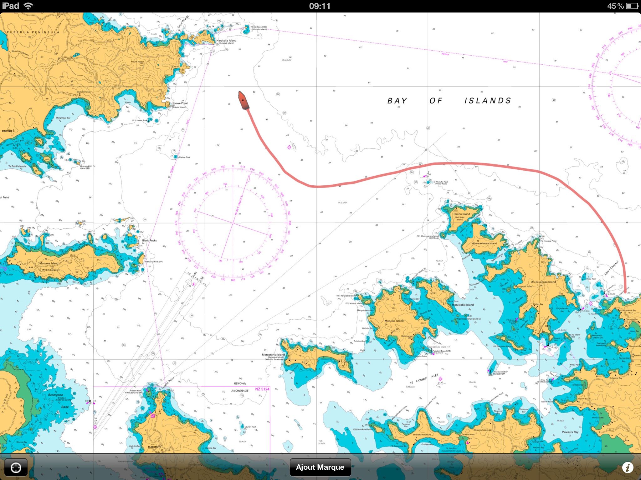
Mobile applications
Marine applications for smartphones and tablets
not designed as a primary navigation aid.
see for example : Weather4D
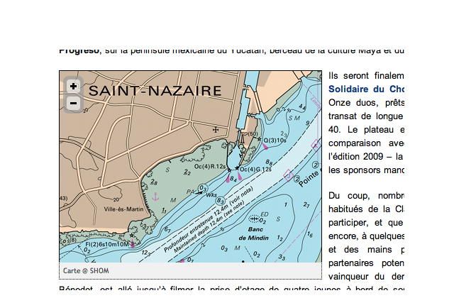
Online media
Nautical charts viewer embedded in third-parties website
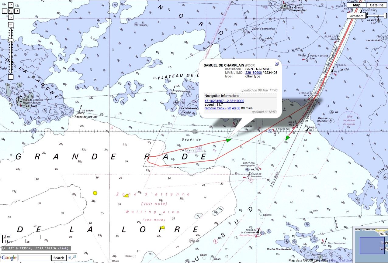
Vessel tracking webmapping
for AIS and satellite VTS
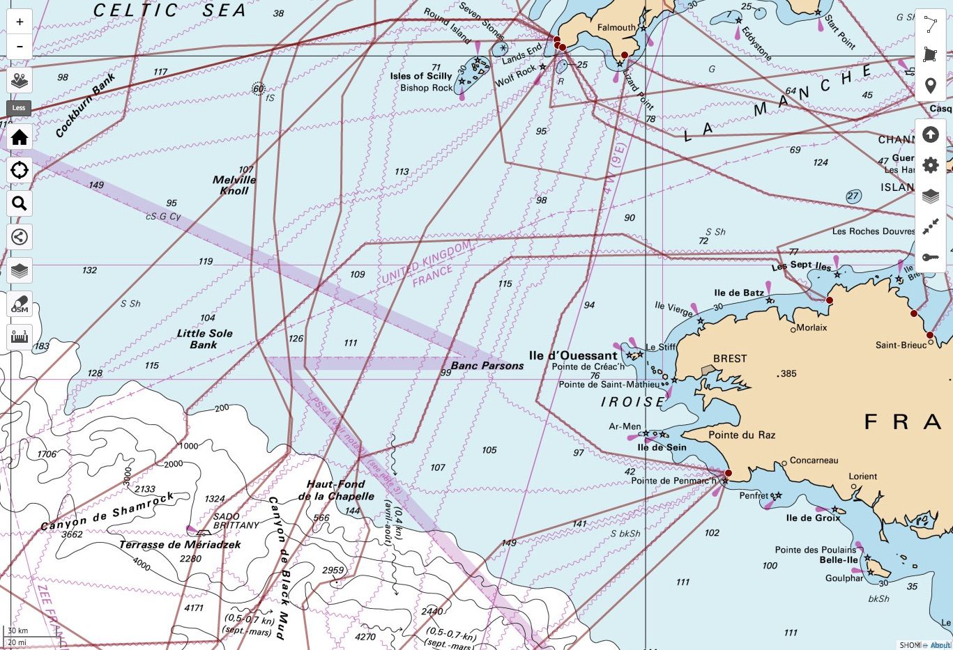
Thematic marine webmapping
Nautical charts overlay for maritime data visualization