A worldwide nautical charts catalog
with both raster & vector charts derived in part
from chart material provided by international Hydrographic Offices
- Raster nautical charts (RNCs) : bitmap copies of the official navigational paper maps
- Vector nautical charts (ENCs) : vector ENCs (s-57 & s-63 formats) rasterized using s-52 rendering
1. Raster charts catalog
the basic service
a cloud-based nautical charts streaming platform
with an exhaustive catalog of raster charts derivated in part
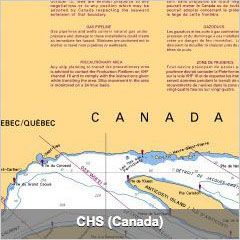
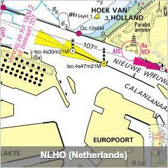
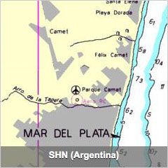
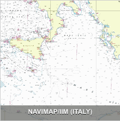
from material provided by the following international Hydrographic Offices
      |
      |
      |
| |  |
|
These digital georeferenced raster nautical charts (more than 10000 charts),
are regularly and automatically updated through our Cloud computing solution.
Raster charts coverage
according to the different international Hydrographic Offices' sources
2. Region coverage with ENC vector charts
A complementary offer for local areas
The GeoGarage platform also serves images of vector ENC Electronic navigational charts as a complementary offer to the different raster nautical charts (RNC) layers for its B2B customers (see GeoGarage blog article).
'A la carte' service procedure : with ENCs, the user can select a limited set of charts for a chosen region in the worldwide catalog according six scale bands available :
- 1 : Overview scale band consists of ENC files with a scale band smaller than 1:1,500,000.
- 2 : General : from 1:600,001 to 1:1,500,000.
- 3 : Coastal : from 1:150,001 to 1:600,000.
- 4 : Approach : from 1:50,001 to 1:150,000.
- 5 : Harbour : from 1:5,000 to 1:50,000.
- 6 : Berthing : larger than 1:5,000.
So this implementation of ENCs (worldwide catalogue of about 17,000 charts) allows to complete the catalog of available nautical charts (more than 10,000 raster charts) usually proposed by the GeoGarage platform, for regions where the GeoGarage can't access -for the moment- to raster data (pending licenses with some international Hydrographic Offices) for webmapping applications.
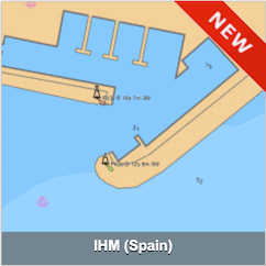
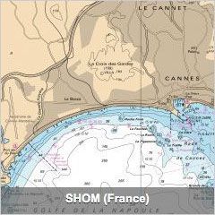
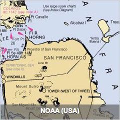
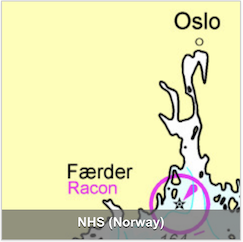
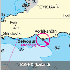
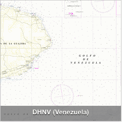
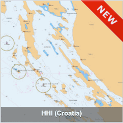
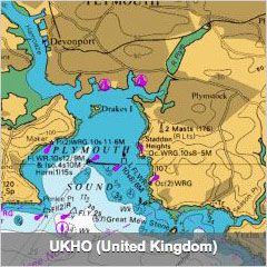
The following countries are concerned by s-63 ENcs for web services : China (C1), Estonia (EE), Finland (FI), Georgia (GE), Indonesia (ID), Lithuania (LI), Latvia (LV), Montenegro (ME), Poland (PL), Sweden (SE), Ukraine (UA), additionnaly to other countries for which GeoGarage already has licenses for raster data and for some of them vector s-57 ENCs : Belgium (BE), Brazil (BR), Canada (CA), France (FR), Germany (DE), Croatia (HR), Iceland (IS), Malta (MT), Netherlands (NL), Norway (NO), South Africa (ZA), Spain (SP), United Kingdom (UK), USA (US).
Note : for non web display, GeoGarage can provide worldwide coverage licenses under DRM, so ENC s-63 format (not limited to the above countries) and Admiralty raster ARCS for onshore local Intranet access (groups of 5 displays/concurrent users) in GIS and specific applications to use in a closed environment (VTS station for example).
click on the above button to display the ENC worldwide coverage
download weekly updated kmz file
 to display the ENC worldwide coverage in Google Earth
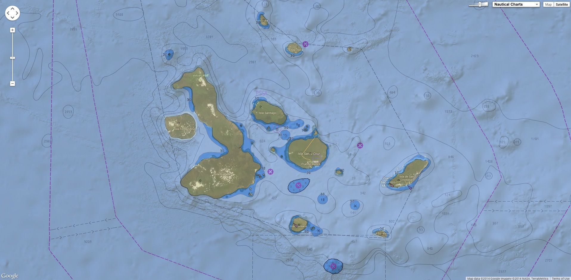
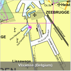
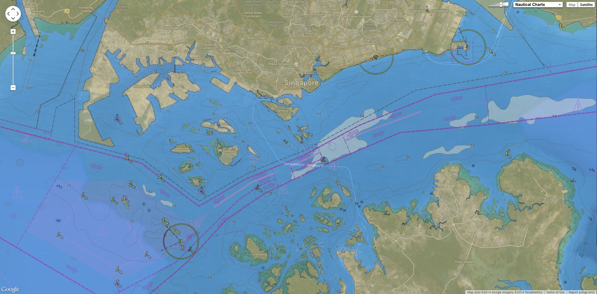
ENCs with different displays
GeoGarage can propose several types of visualizations with the ENCs depending on the specifications of the customer.
ENCs for specific areas
GeoGarage adapts its offer for local spot coverage
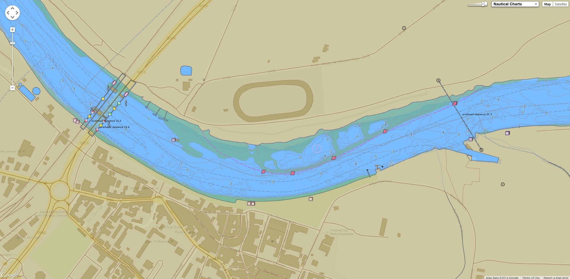
iENCs for rivers, canals, lakes and other inland waters
GeoGarage gives access to all the Inland ENCs catalogue