
web & mobile nautical charts platform
GeoGarage ambition is to be the largest online broadcaster for nautical charts.
These charts are derived from International Hydrographic Offices chart material
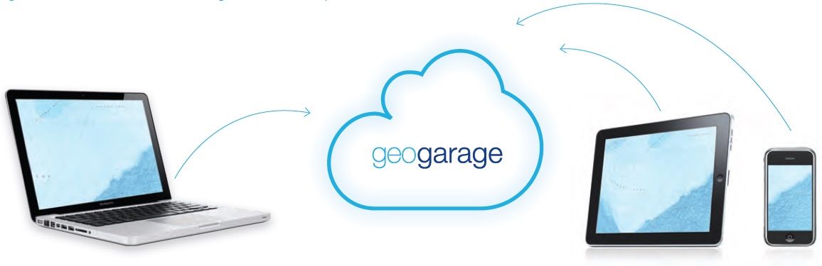
are regularly and automatically updated through our Cloud computing solution.
Your partner for nautical charts.
The GeoGarage platform manages vast amounts of georeferenced nautical charts in the cloud, syncing appropriate layers into third-parties webmapping and mobile applications whenever an Internet connection is available.
All products are developed internally, backed up by GeoGarage’s know-how in geospatial data processing and over 15 years of technological expertise.
What do we offer ?
The GeoGarage proposes a business-to-business online mapping service with a new API (Application Programming Interface), which is already in use by different public and private-sector organizations.
Built on industry standards, the Geogarage API plugs across all browsers and operating systems.
Who are our customers ?
The GeoGarage PaaS (Platform as a Service) is being considered by a range of maritime business sectors with a variety of applications, mainly by software-as-a-service (SaaS) Cloud Computing solutions for managing marine assets (ie Vessel tracking solutions or fleet monitoring via AIS or satellite position reports).
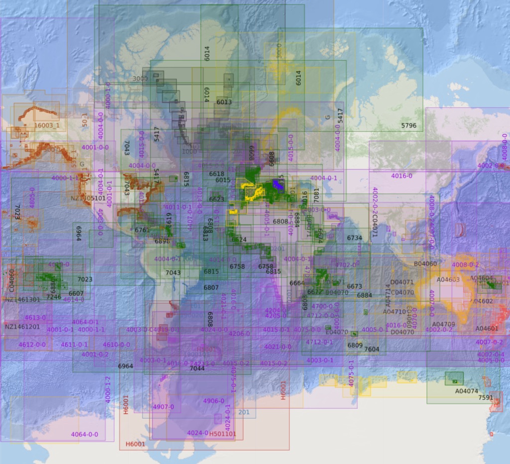
Nautical catalogue
Geographical coverage & source of the chart material (international Hydrographic Offices) :
- USA (NOAA)
- British Isles & miscellaneous countries which have signed bilateral agreements with UKHO for chart distribution (Portugal, Malta, Oman, South Africa)
- France (SHOM)
- Canada (CHS)
- Australia (AHS)
- Western Australia (DOT WA State)
- New Zealand (Linz)
- Brazil (DHN)
- Argentina (SHN)
- Netherlands (NLHO)
- Germany (BSH)
- Bahamas (WLP)
- Italy (IIM/Navimap)
- Denmark, Faroë islands & Greenland (DGA)
- Iceland (ICG-HD)
- Belgium (Vlaamse Hydrografie)
- Venezuela (DHNV)
- Norway (NHS)
- Spain (IHM)
- Croatia (HHI)
- West Mexico (BLP)
- Cuba (Geocuba)
-
Imray :
- ID10 North Sea
- ID20 English Channel
- ID30 West Britain & Ireland
- ID40 Atlantic France, Iberia & Atlantic Islands
- ID50 Western Mediterranean
- ID60 Central Mediterranean
- ID70 Eastern Mediterranean
- ID80 Netherlands
- ID100 Eastern Caribbean